
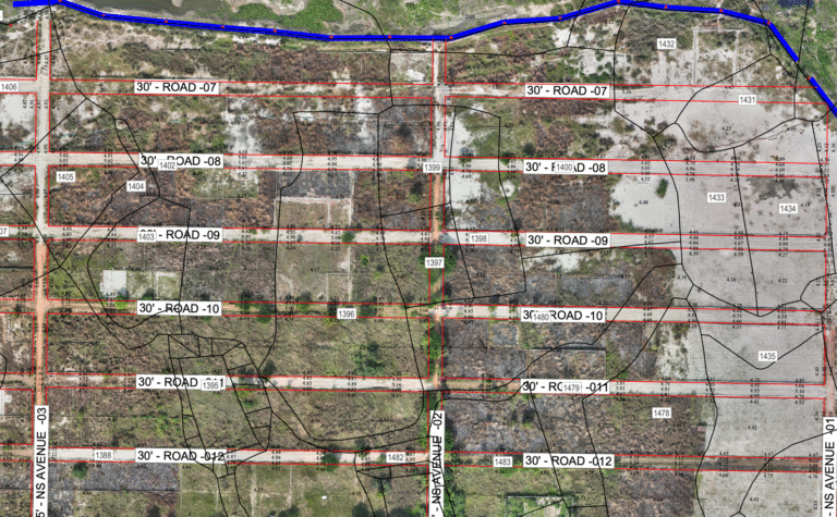
Topographic Survey
Photogrammetry survey
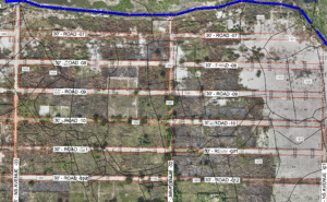
Topographic Land Survey with level
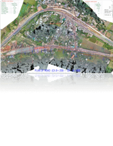
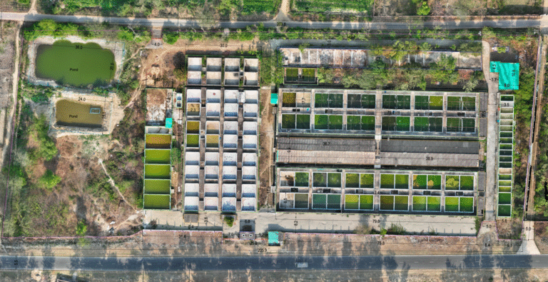
Drone based Roads & Area mapping and photogrammetry survey

Land, and Water Body Survey
- All types of Land Survey
- GPS & RTK bases survey
- Contour, Leveling, DEM
- Piling pointing, area demarcation layout and masterplan
- Bathymetric survey and under water survey
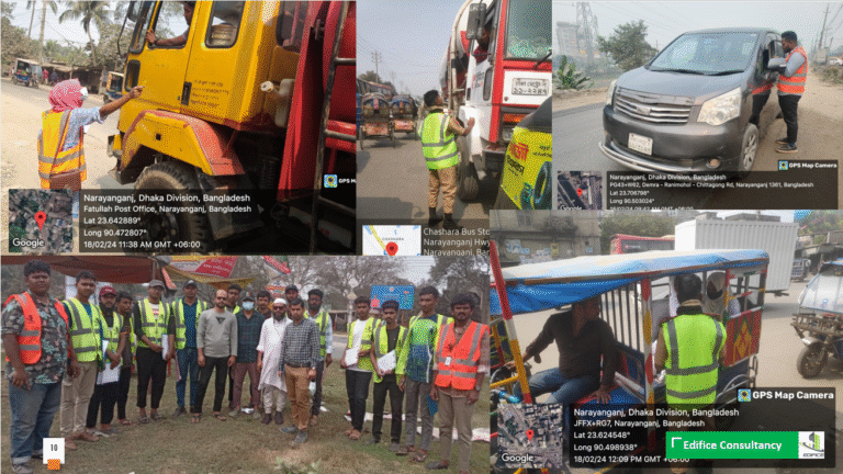
Traffic and Transportation Survey
- Traffic Survey Planning
- Survey Design, OD, DD, Ti & Tj survey
- Traffic Counts, AI Counting, VTS, Turning Movements, Pedestrian Counts, RSI, TTS, Traffic Management Plans.
Environmental &Socio-Economic Survey
- Air, Water, Noise, Soil, and pollution monitoring
- Flora Fauna survey
- Socio-Economic condition, Land price evaluation, LAP, RAP and Land use pattern survey
Drone Survey, Census, Mapping & Planning Survey
- Drone survey and GIS mapping
- Alternative analysis
- Existing feature Survey
- Census, mapping, HHs survey
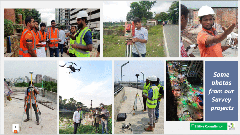
Drone Inspection Survey
Inspect structures such as buildings, bridges, and wind turbines to identify maintenance needs, safety hazards, and structural damage.
Thermal Imaging Drone Survey
Use infrared sensors to detect temperature differences in objects, revealing heat signatures, moisture content, and energy loss.